As some people have noticed last week I edit lots of Asda stores across the UK.
I have been adding branch specific contact:website as well as brand data
(brand=Asda brand:wikidata=Q297410 brand:wikipedia=en:Asda).
The stores that didn’t already have address data, now should have data provided
by FHRS Open Data.
Across the way I’ve made some mistakes, when I started I was also adding brand
social media (contact:facebook=https://www.facebook.com/asda/
contact:twitter=@asda).
trigpoint pointed out this is wrong because some (most?) Asda branches have
there own social media accounts that would be more accurate, and user agents can
still get the brand accounts via
wikidata.
Throughout this project I have been prioritising adding the the specific webpage rather than a generic homepage. This has multiple benefits.
- The most obvious being users get precise data when they click the link.
- Another benefit is that the Asda website supports
microdata, to publish metadata.
- User agents can use this data to get more up to date or missing data than
OSM provides, even though relatively few Asda stores have
contact:phonethat data is now available and can be used. The same goes foropening_hours, addresses and even the GeoCoordinates. - Mappers can use it similarly to improve OSM.
- Data scientists can now easily compare OSM data to Asda data.
- User agents can use this data to get more up to date or missing data than
OSM provides, even though relatively few Asda stores have
While doing this I was careful not to use data from the Asda website, due to
copyright concerns.
So I ignored opening_hours and contact:phone, this data is valuable and I
would love for it to be in OSM but I didn’t want to compromise OSM.
For addresses I used another source,
FHRS Open Data, it is an amazing data set
and in my opinion every OSM mapper in the UK should know about it.
Using it in OSM has some awesome benefits.
- The addresses added to nodes improve navigation.
fhrs:idmeans user agents can display the food hygiene ratings helping there users decide if they want to visit a given establishment.- Tracking new FHRS Open Data means we can get notified when a new place opens in an area and inform local mappers where to survey and add data to OSM.
- The same goes for any invalid
fhrs:idin OSM, it can be used to notify us that an establishment may have closed and in that case we can remove it from OSM.
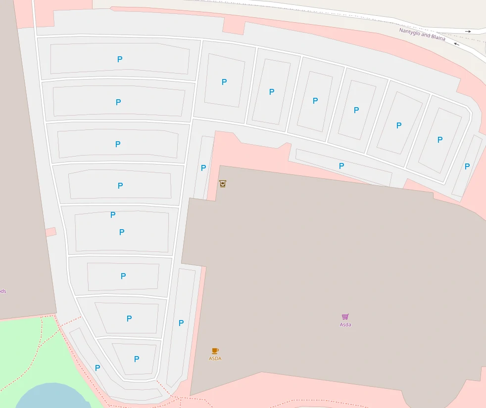
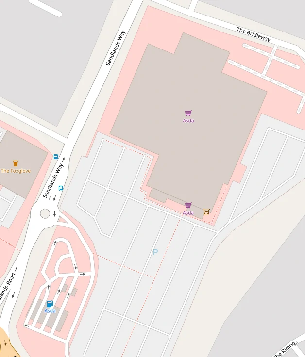
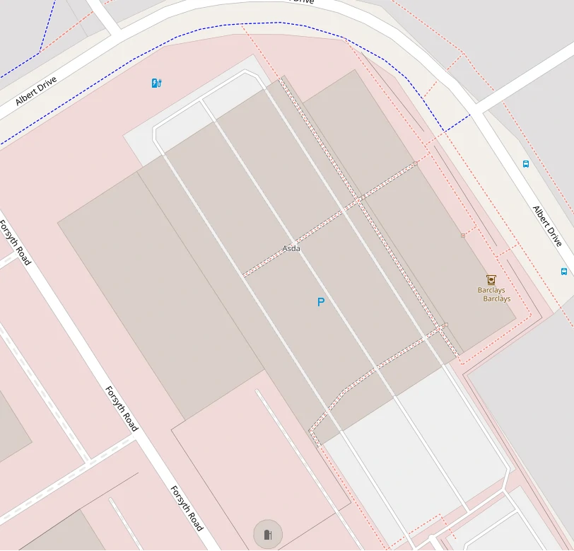
Most of what I have been doing is related to tags and so “invisible”, at least to osm.org rendering. However I did add some stores/petrol stations and fix several mistakes along the way, but there is still work to be done.
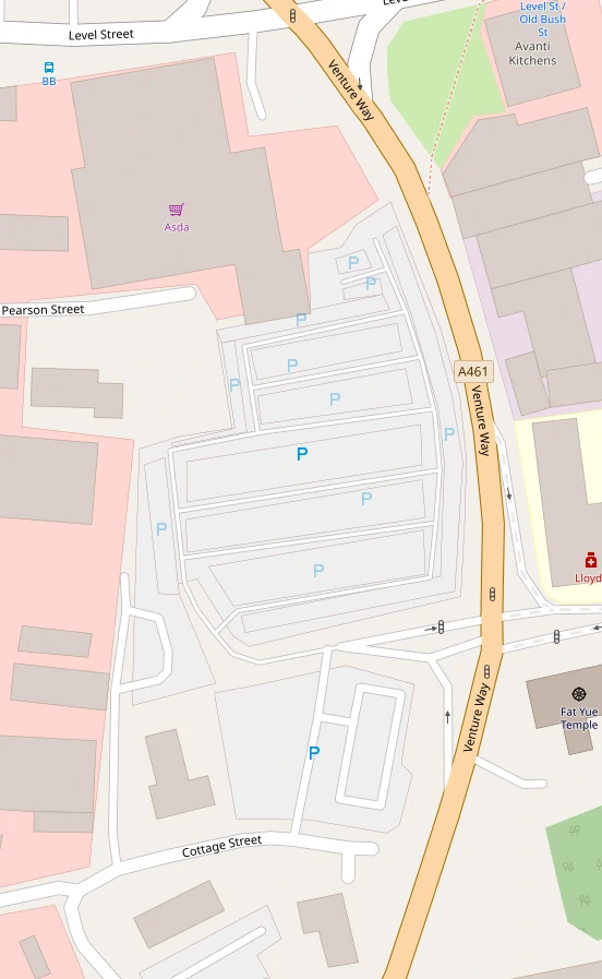
Deleting a bunch of car parks.
More.
Deleting duplicate stores.
I also turned these 2 separate buildings into building:part and added a
building outline.
Another 3D building but this time it wasn’t even a supermarket.
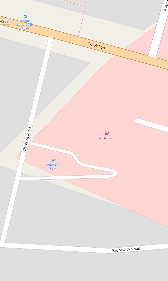
Traced buildings and car parks.
More.
Removing duplicate labels, in this case it was a separate node for a supermarket and a name on building.
I deleted a car park, moved a name to old_name, and improved tagging of a
sub station.
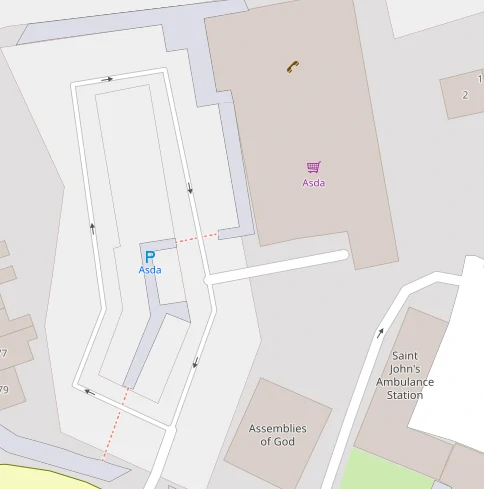
The mapper before used areas for the walkways instead of ways, so it looks a bit
odd.
But I think it’s valid.
This one was a hairdressers, for 8 years.
During my edits last week I only added FHRS data to stores without address data.
So there are still plenty Asda stores without fhrs:id.
I plan to go back over the stores and add this, at some point I should also add
them to the cafes and pharmacies in stores.
I picked Asda, probably mainly because it’s at the top of the alphabet, but also because the wiki said we could use data from their website. I couldn’t find a source for that and so I didn’t use the data. However while doing this I tracked it down to domdomegg who provided me with a copy of the email that gives OSM permission to use the website data.
I now want to do a bulk programmatic edit of OSM going back over the stores that
I manually linked and add opening hours and phone numbers to the stores without
them.
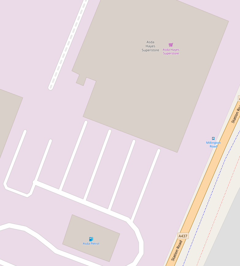
I wont do this to the amenity=fuel due to there opening hours being a little
confusing, it seems to be for the little store/kiosk while some places have 24/7
card only pumps.
I could also do it for alt_name to hopefully improve search.
Asda supermarket being:
nwr["brand:wikidata"="Q297410"]["shop"="supermarket"]["contact:website"];
Asda Living being:
nwr["brand:wikidata"="Q297410"]["name"="Asda Living"]["contact:website"];
I don’t think I’m in favour of opening_hours:covid19 but I will use it and
then at some point in the future when store opening hours have changed again I
will propose another mass edit where I just update opening_hours and remove
opening_hours:covid19.
This does mean that every Asda Living store gets a tag of
opening_hours:covid19=Mo-Su off.
Discussion
Comment from Rovastar on 30 April 2020 at 10:35
So are all the asdas in the country now added?
Comment from DarkDays on 30 April 2020 at 12:12
Almost, I think I have notes open for each remaining unmapped store. 1 2 3 4 5 6 7
I’ve actually not checked how many Asdas there are in OSM, that could tell us if there are any that don’t exist on there website and probably need deleting.
Comment from GinaroZ on 30 April 2020 at 15:24
Just had a quick look at your notes - for 2 and 4 there seems to be a petrol station visible on the more recent ESRI or Maxar imagery (always a good idea to check these when mapping).
Comment from DarkDays on 30 April 2020 at 16:07
Just done some calculations. Asda website has 580 Superstore, Supermarket or Supercentre stores. While OSM has 577
brand:wikidata=Q297410shop=supermarket. -3 or -0.5%. Pretty damn close!Asda website has 319 petrol stations (19 stand alone and 300 at other stores). OSM has 229
brand:wikidata=Q297410amenity=fuel. -90 or -28%. Less good, but I think a lot of them are in OSM but not tagged with brand data.Asda website has 33 Asda Living stores. OSM has 21
brand:wikidata=Q297410name=Asda Living. -12 or -36%.Comment from DarkDays on 30 April 2020 at 16:08
@GinaroZ thanks I’ll take a look. How do you know which imagery is older? I sometimes worry I’m readding a building to OSM that somebody else has deleted.
Comment from DarkDays on 30 April 2020 at 16:45
Just had a closer look at Asda Living stores, and at the beginning I wasn’t adding brand data to them. OSM actually has 30 out of 33. Only missing 3! (-9%) That’s amazing :) Notes for missing stores: 1 2 3
Comment from GinaroZ on 30 April 2020 at 18:01
Generally if the Bing imagery is very clear and the same as the ESRI (clarity) background, then those two will be from around 2012. Most of the ESRI or Maxar imagery I’ve seen is more recent, along with the updated but lesser quality Bing imagery, some even from 2018 or 2019.
You can usually work out from various areas of stages of construction areas and new developments which is newer, though if in doubt add a note to the map.
Also bear in mind that ESRI or Maxar is usually slightly out of alignment with Bing so needs to be offset before editing.
Don’t know about JOSM but in the iD editor you can do Ctrl + Shift + B and it shows a box with the imagery date, though this only works for the two ESRI sources.
Regarding Asda Living stores - a search for
shop=* and name="Asda Living" in ukfinds 30 objects, however there are some differing values for shop. Houseware x20, department_store x7, furntiture x2, clothes x1 - so these should be standardised.I’m in Scotland where we seem to only have one Asda Living store so haven’t visited one, but from the descriptions online it seems to be their non-food range - perhaps the wider ranging department_store is more appropriate than houseware?
Comment from DarkDays on 30 April 2020 at 18:42
I did notice the variation in shop types, hence I was using the
nametag to differentiate from supermarkets. I too have never been to an Asda Living store so I was going to stay out of that discussion. But if there is consensus I’m happy to do the bulk edit, I have all the node and way ids.Comment from GinaroZ on 30 April 2020 at 19:32
The wiki page for houseware says “A shop that focuses on small items, like cutlery, crockery, cookware and decorative items.” https://wiki.openstreetmap.org/wiki/Tag:shop=houseware
So I think it would be a mistake to use that tag, given they also sell clothes, electrical items, etc. They don’t sell food so it can’t be a supermarket, and neither are they a variety_store. Maybe not the same as traditional department_store, but it’s the best tag IMO. https://wiki.openstreetmap.org/wiki/Tag:shop%3Ddepartment_store
I did notice three of the Asda Living stores you edited were previously tagged as a department_store, including this one: https://www.openstreetmap.org/way/263697069/history
Another had no shop tag at all. Two were also changed from “household” but that’s not really a synonym: https://www.openstreetmap.org/way/139845207/history
Comment from DarkDays on 30 April 2020 at 20:22
I’m confidant that
shop=householdis not just wrong, but invalid, it’s not listed on the wiki. So I was changing them toshop=housewarewhich was the closest in terms of text, but also most popular. I have no argument againstshop=department_storemy edits of them weren’t calculated, I either did them on auto pilot or accidentally copy the tag, all of this was manually so unfortunately its not as perfect as a program.Comment from DarkDays on 30 April 2020 at 20:38
Can I get your opinion on petrol stations as well, most are just
amenity=fuelbut some are like this. Having a separateshop=conveniencejust seems wrong.amenity=fuelto the shop?building:part=roofandbuilding:part=yeswith an outline ofbuilding:yeswith the shop and fuel tags?Or something else.
Comment from Rovastar on 30 April 2020 at 22:13
I would have the separate shop convenience for that. That is how I map ones that are substantial shops rather than a very basic small petrol station shop. Some of these are fairly big like mini supermarket ones (express/metro) and that looks like one too. I expect most customers just use the shop and not buy fuel. But all the ones I have mapped like this have separate Fuel brands (Texaco, etc) to the supermarket/convenience store (Co-op)
I can’t really help with the asda living never even heard of them let along seen them but it sounds like an awkward one like so many other chains where it is not really a traditional department store we would all recognize but sells all sorts of stuff. But I am not more than happy having a general consensus for consistency though as I think that is more important than someone slightly disagreeing with 1 tag.
Comment from GinaroZ on 1 May 2020 at 17:51
@CjMalone Wasn’t having a go at you :) Just pointing out that the usage of houseware v department_store was more equal than the initial stats showed.
Not really sure about the petrol station situation, think I’d need to have a look at more examples in OSM and real life. This might be something to bring up on the talk-gb mailing list.
Comment from RobJN on 1 May 2020 at 21:38
There is no compromising OSM if you copy details from the website as we were given permission to do this - https://wiki.openstreetmap.org/wiki/Asda_stores_in_the_United_Kingdom
I know some people may say this is not as formal as they would like but it’s a pretty clear indication that it’s ok. I imported petrol stations at the time (following community consultation).
Best regard Rob
Comment from DarkDays on 2 May 2020 at 22:35
@RobJN I added that email :P when I started it said “[ citation needed ]”
I’ve been working through petrol stations, most of them were already in OSM, untagged or with
operator=ASDA. A few were missing, but visible on satellite imagery, so I added them. And a few now have notes, waiting for local mappers.OSM now has 314 out of 319 Asda petrol stations!
Comment from GinaroZ on 11 May 2020 at 16:46
Just to let you know I’ve gone through each Asda Living object and changed them to shop=department_store https://www.openstreetmap.org/changeset/84986153
Comment from DarkDays on 11 May 2020 at 17:55
OK nice one, I’m still working on this on and off, making sure all the cafes and pharmacies are in OSM and have contact details.
Comment from trigpoint on 16 May 2020 at 12:01
I did map Asda Living in Telford as a department store, although am having my doubts. It is, as far as I am aware, the only one I have been to and is certainly the only one I shop at occasionally.
I had been a bit reticent to use shop=department_store for something thats not like Grace Brothers (thats one for the younger readers) where you shopped in each department and paid the staff before moving on to the next.
Asda Living has a line of tills near the door, as does Marks and Sparks, but for accounting by department terms that is now a back office computer function.
The reason I am having doubts about department store is that I am not sure that they sell furniture or homewares, I certainly have never bought such things. Maybe they sell bedding but certainly not furniture. They do sell clothes, electronic and digital media.
Comment from GinaroZ on 17 May 2020 at 15:56
The nearest Debenhams and M&S to me didn’t sell furniture before they closed either, but they would be classed as department stores. Asda Living’s tagline is “Clothing Home Entertainment” so that basically covers everything non-food related that a department store would sell?
At least it’s a better tag than the previous one of shop=houseware which is too narrow to cover Asda Living.