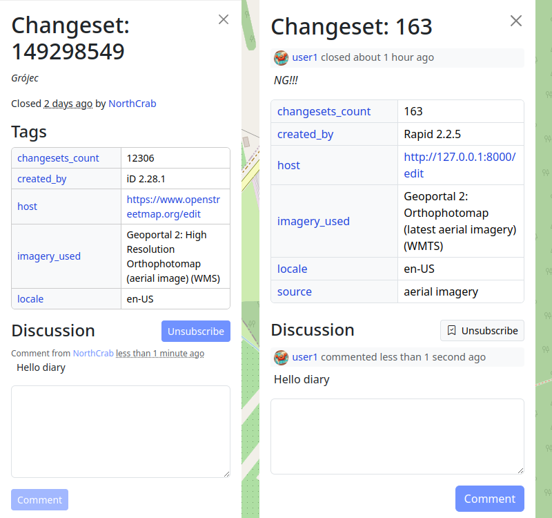
Foreword
In ‘week 60 of 100’ wrote about an OpenStreetMap exploration session with the bike and from it I realized that a machete would help to traverse through the off-trail scrub portions. This fact I ignored, mainly due to the reasoning of being early in plant’s yearly life cycle, thus the green matter would not be as intense. This intention held true, though the hard matter still persisted and without hard duty gear, navigating through thorns one can become injury prone with scrapes and/or punctured clothing. Nonetheless since these obstacles are expected, the attitude attacking these are not as dire as when it is unexpected.
Route planning
(The red line is the planned route whereas the dark blue is the tracked one.)
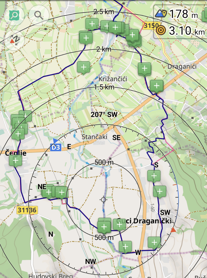
The planning (route in red) is done in such a fashion that one can grab a big portion of unmapped sections in one swoop. As one sees, the NW section off the D3 primary highway is missing landcover information, which gives an eerie feeling when trotting along the tracks.
Further one tries to avoid any large detours and tries to predict if one of the potentially ending paths actually is not an instance of noexit, though continues. Of course if the prediction is false, then one will get to deal with an obstacle (which was described earlier).
Obstacle: stream crossing
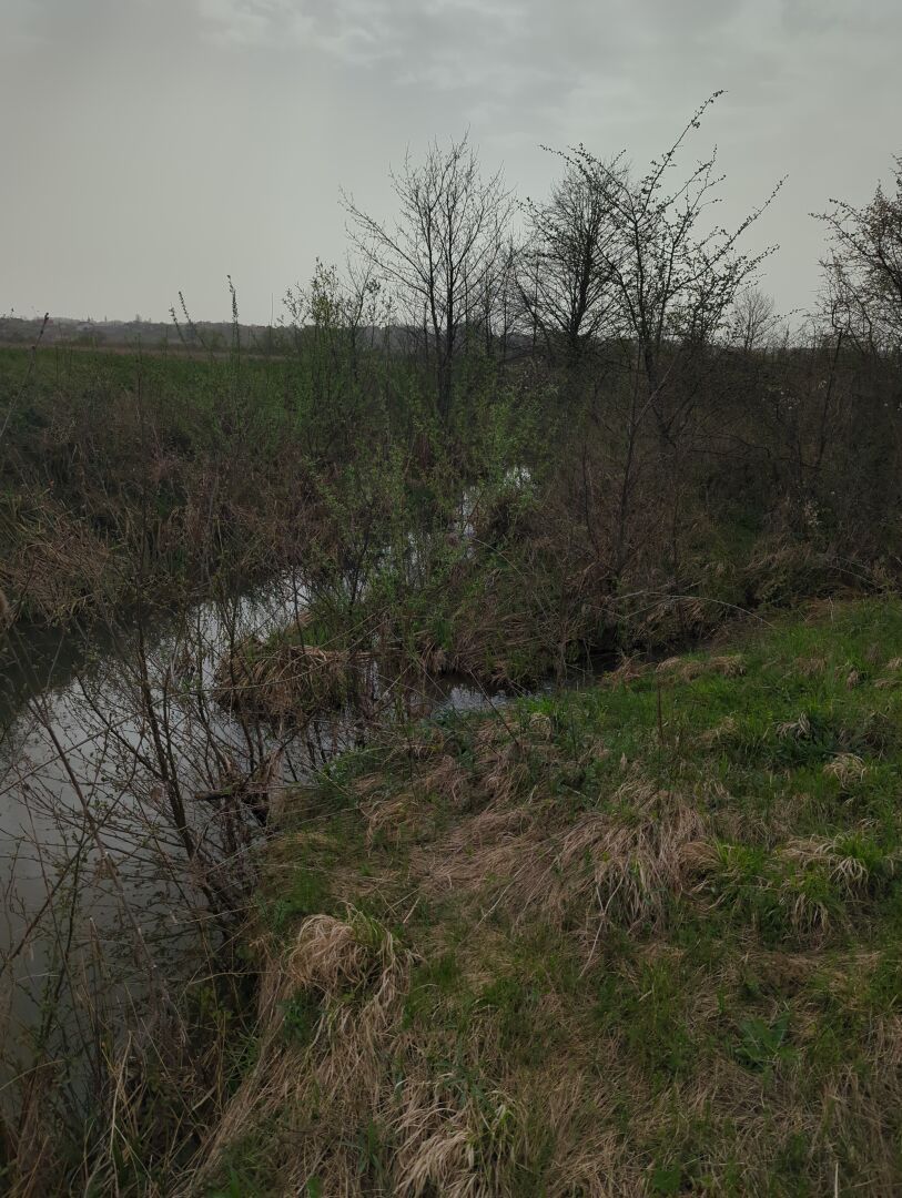
On the map the tail of the path ended with this lovely obstacle. On the other side of the stream there is track that follows it, so the prediction was made that there should be some kind of crossing. This is not the case.
The trickiness of the circumvention of this obstacle is getting back out of the canyon, since the walls are at least 2m tall with poor grip surface potential, since it is a sandy bank. Luckily the entrance to the stream is easily feasible, because there is no steep wall to disembark.
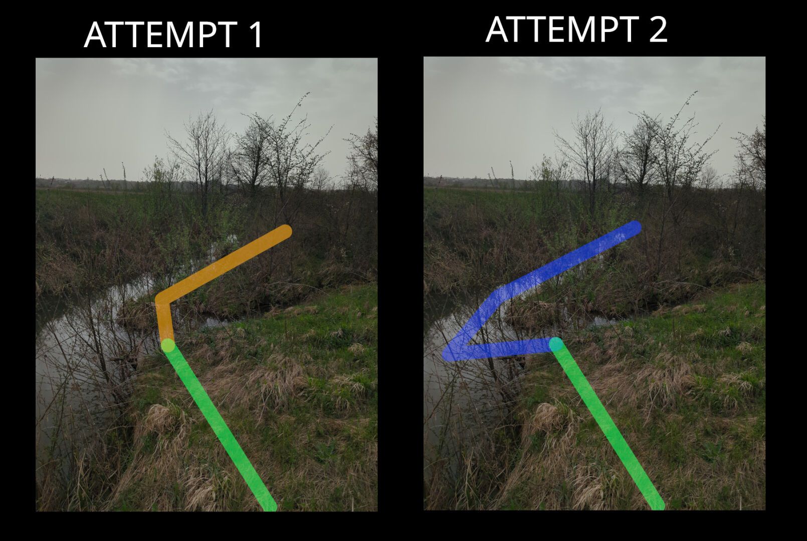
Attempt 1
In the first attempt, the idea is to get to the island, which was straightforward and follow the second stream to see if there is a better spot to tackle it. Though when traversing back up from the water, it was blocked by a thick wall of thorns, so went back to the first stream crossing.
Attempt 2
Going back out where I came from and following the stream upwards was not a choice, since there was no information how long that would take. Thus the only choice was to go fully into the second stream. While wading through it, got surprised by a 1.2 m drop off, which lasted for only a couple of meters before shrinking to only a couple of centimeters.
Obstacle summary
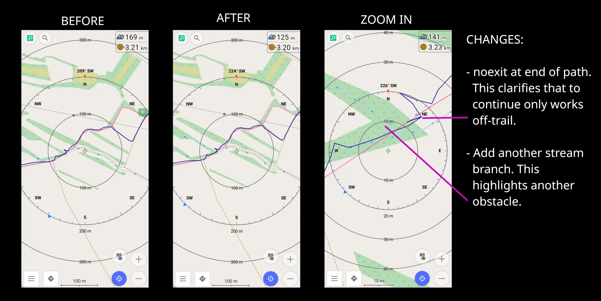
Right off the back, I added noexit to the path tail to avoid the future chance of navigating there. It might feel weird to add such tags to paths or tracks, though for cross country/off-trail navigation it can make a huge difference. Additionally, it helps me to give a visual guide of which highways I have already navigated to the end.
Further, more times than not, one can expect scrub to have a waterway. This can either be a stream or a ditch. In either case this makes the already difficulty obstacle a fun wet mess!
Obstacle: river crossing
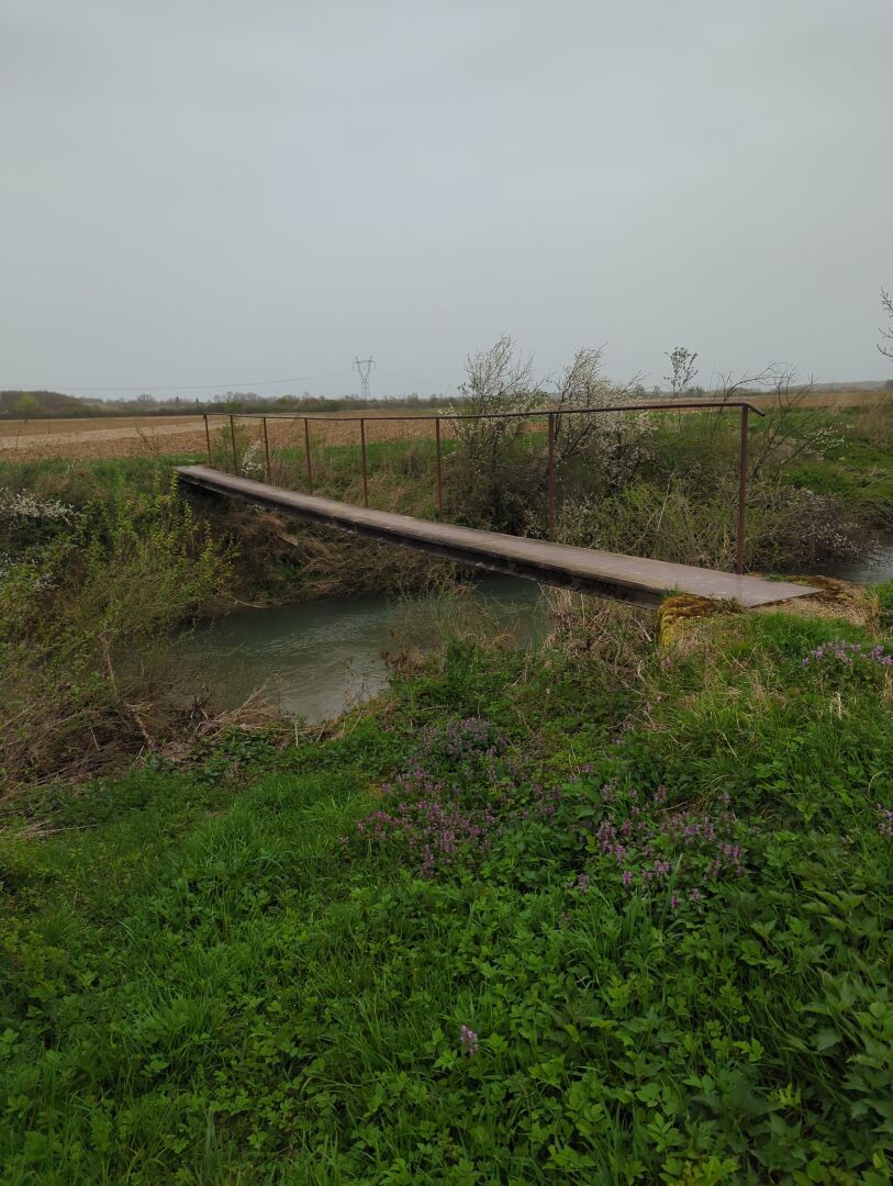
Other times the map tells you that there is a bridge for the track, but it is actually a ford. Nonetheless there was this pedestrian bridge close by.
Obstacle summary
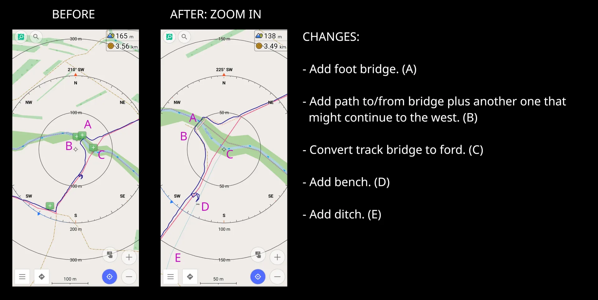
Notes are added there where potential obstacles exist like the two various river crossings: one time via the track which is a ford instead of a bridge, and other time the newly discovered pedestrian bridge. Further details of future paths is also added as potential future exploration session, which has the potential of discovering another waterway crossing. And finally adding minute details like a ditch, which pedestrians can easily overcome vs a motor vehicle.
Obstacle: traverse through the forest
(As refresher, the red line is the planned route and the dark blue is the tracked one.)
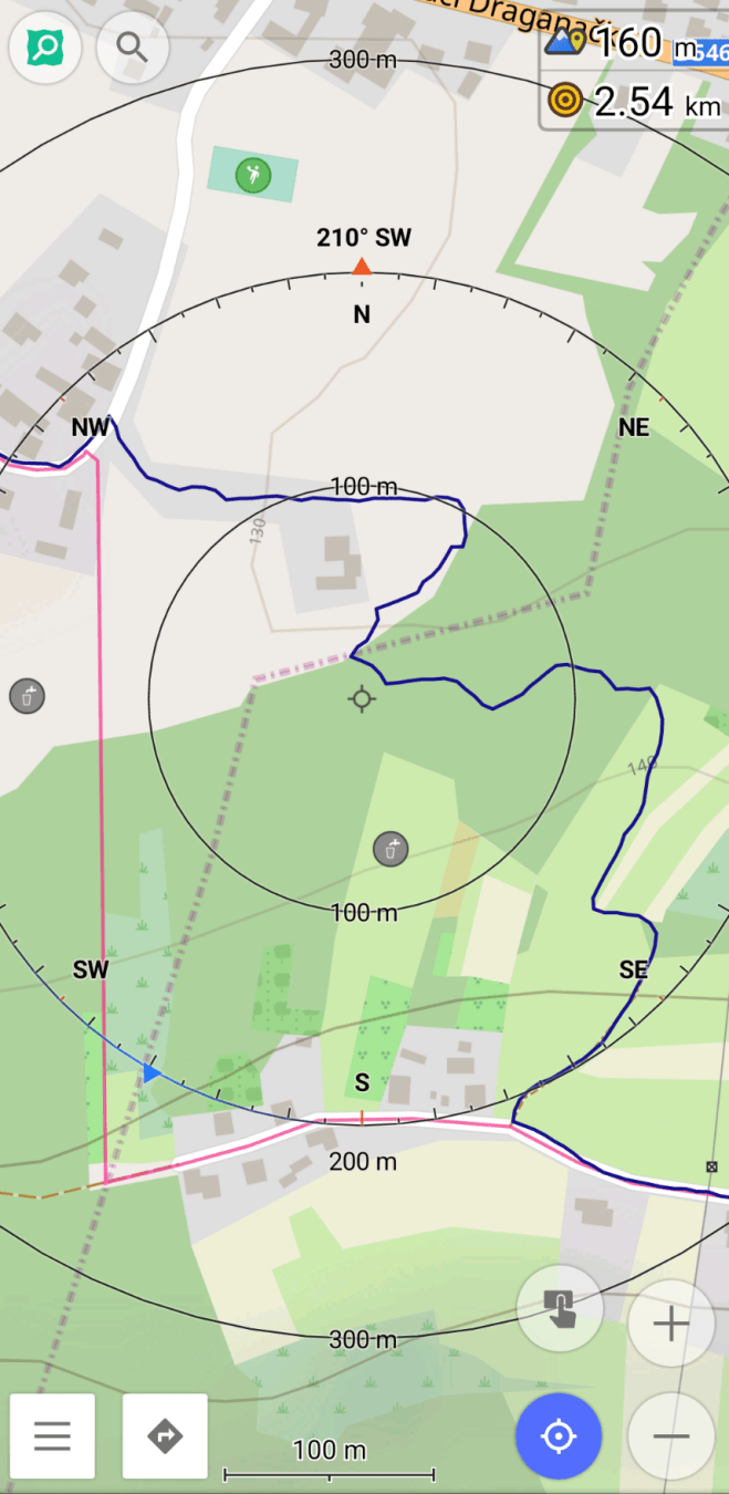
It should be highlighted that the forest is on a slope of a hill with the incline going up, so the vineyards and orchards are on the top of the hill to the south.
The planned route was not possible, since along the residential highway is a barbed wire fence and there is the chance og having unexpected spectators from the detached buildings. Thus first went east to get to the forest to avoid any potential trespassing confrontations.
This is where I was met by a stream, which was not mapped and on the entry side has a 2m drop to the water. Getting my feet wet is not the issue (as previous described), rather finding a spot that has the least potential of causing injury. Found a tree that was used as a brace to let me slide backwards into the stream.
On the other side of the stream I was introduced by a path (maybe just a deer path), that I will definitely explore again in the future. Likewise the stream also needs better GPS data, since the outlet is unclear. The path was quite well marked and sometimes there were some tight fit spots like when multiple logs fall on top of each other or a small wall of scrub. This would have been the second scenario where a machete would have been useful.
Future thoughts
Exploring the country side is not for those who like the comfort of civilization. One should expect to be challenged against one’s comfort zone which this diary entry hopefully highlighted. Thus one should prepare for the worse possible scenario either physically, mentally, and/or have the appropriate gear for the task at hand.
All tools used in the field were used in airplane/offline mode. SCEE for existing objects (not highlighted in this entry), OsmAnd for note taking (schema used for note taking), navigation, and route planning. FitoTrack for track recording with a custom workout: rucking with 45 lbs.
Location:

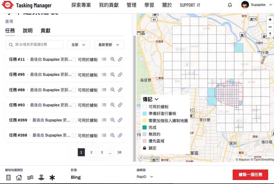 ▲ Tasking Manager project page. This project’s main goal is to map Xiejie District, Tainan City.
 ▲ National Cheng Kung University is located in Tainan, which is quite well-mapped on OpenStreetMap


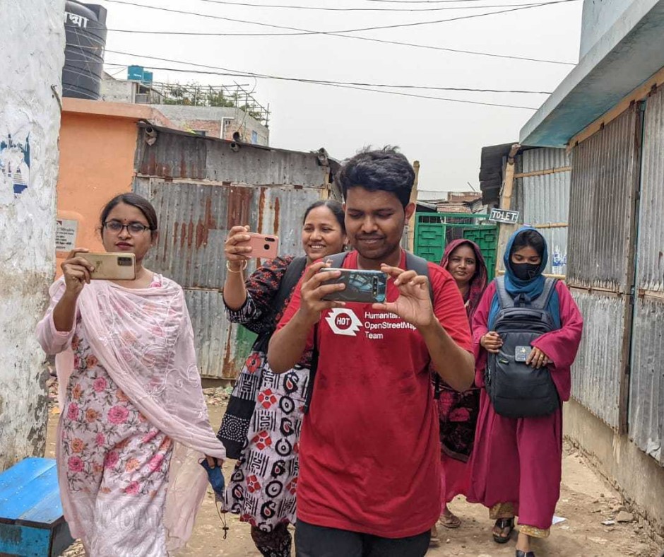 Open Mapping Guru, Brazil Singh in a field visit and data collection in Mirpur and Duaripara, Dhaka.
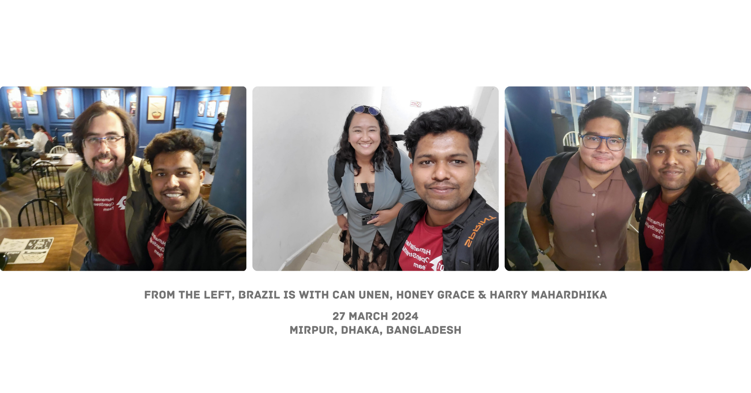
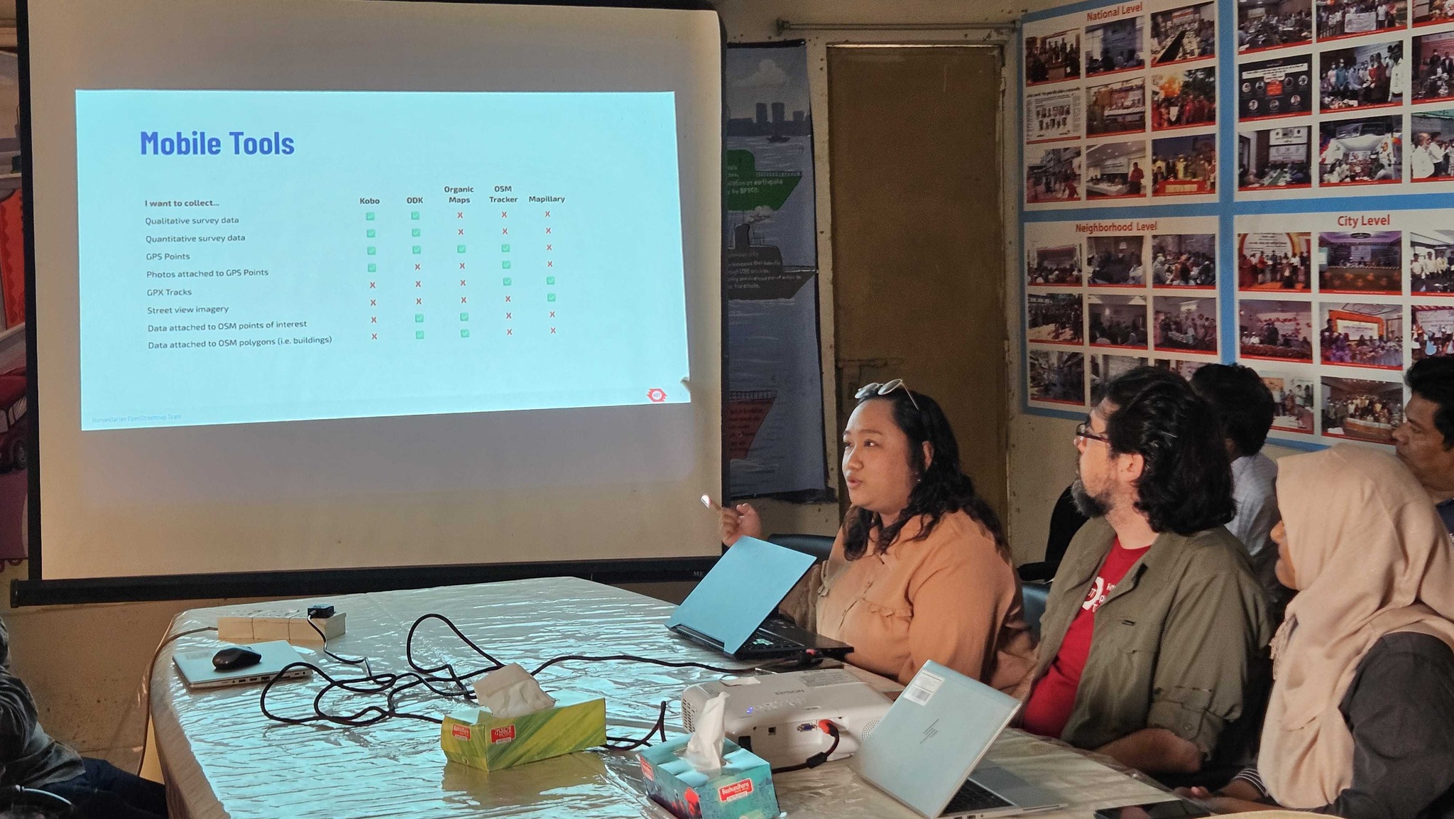
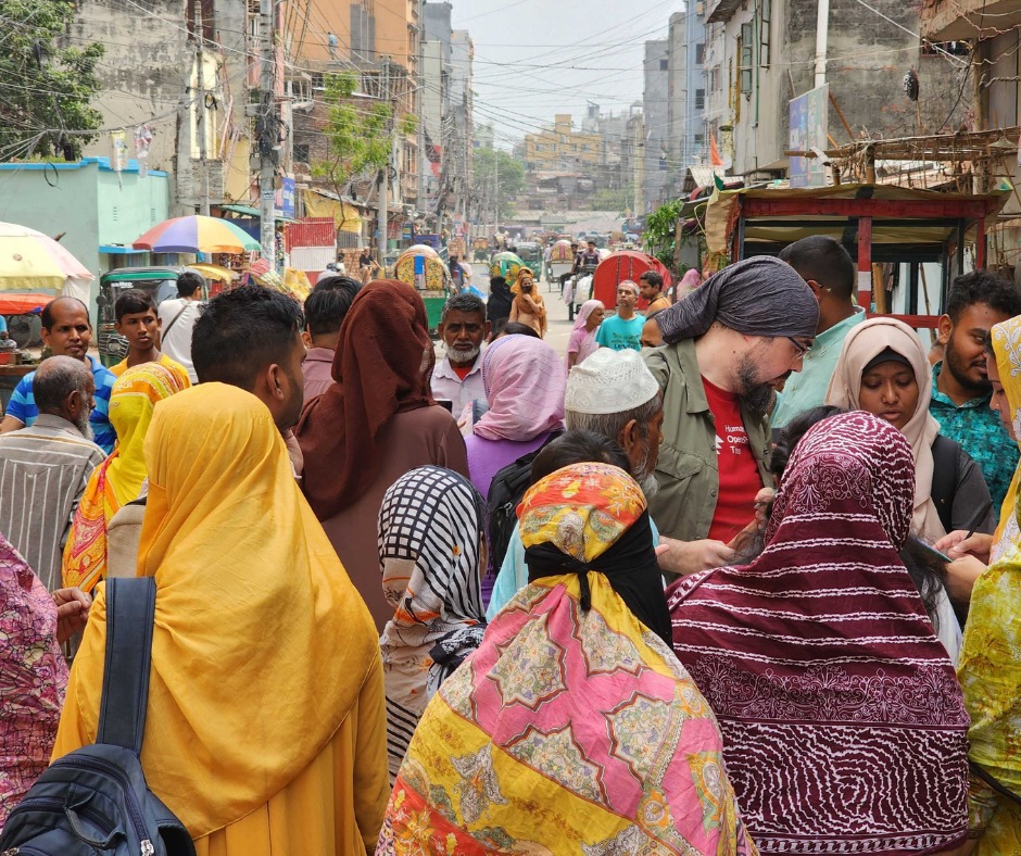 We selected two areas in Mirpur for field visit and data collection. First on was Duaripara and second one was Milat Camp. So first I trained the voulenteers and my team members about mapiliary and how to collect data. Then we went to the field visit. So, in the field, we mapiliary team divided into two groups, one group went inside the slum and collected data and another one group collected data from outside. We collected data in 1.30 hours and it was an amazing experience. Like from the field, collecting street level images. It was really amazing.
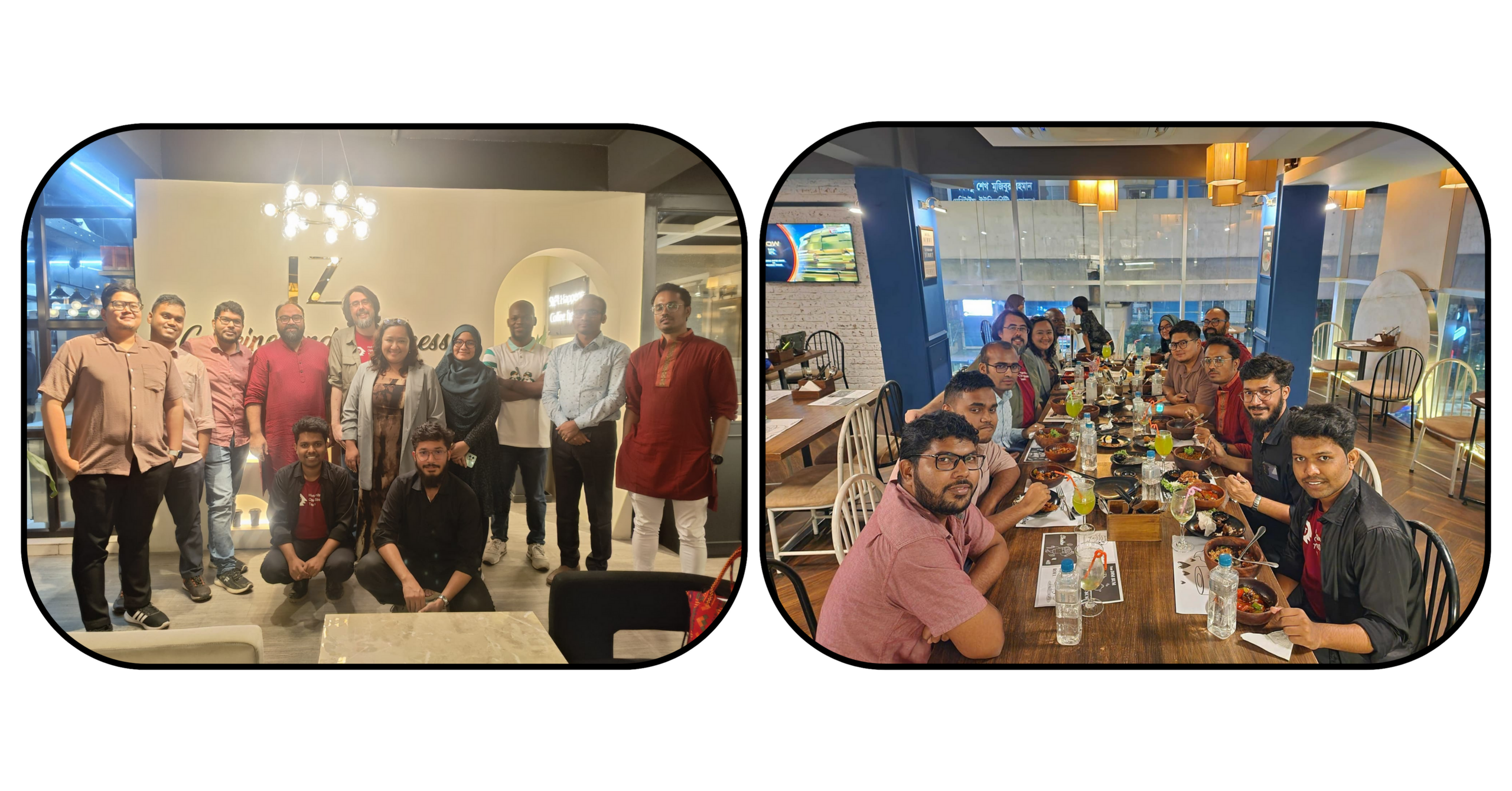 AP Hub members met together and share an Iftar with the Open Mapping Gurus in the OpenStreetMap Bangladesh Community